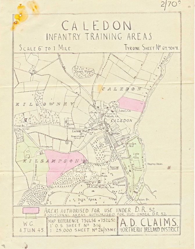
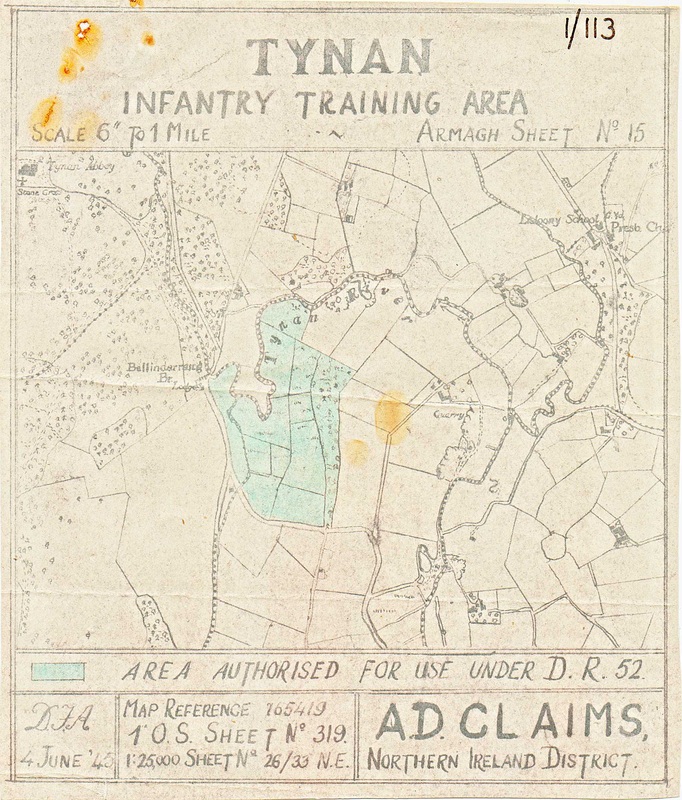
Military Boundary Maps:
Military Boundry Maps drawn up by the British Army at the start of WW2 to show what areas they would be using for training and live firing exercises. i.e. Tatics,blank firing,live firing,rifle,pistol,machine guns and 2" motor rounds.The RUC at that time had to know when All these activities were were going to take place as certain roads had to be closed off if live firing was going to take place, and to keep civilians away from these areas.


